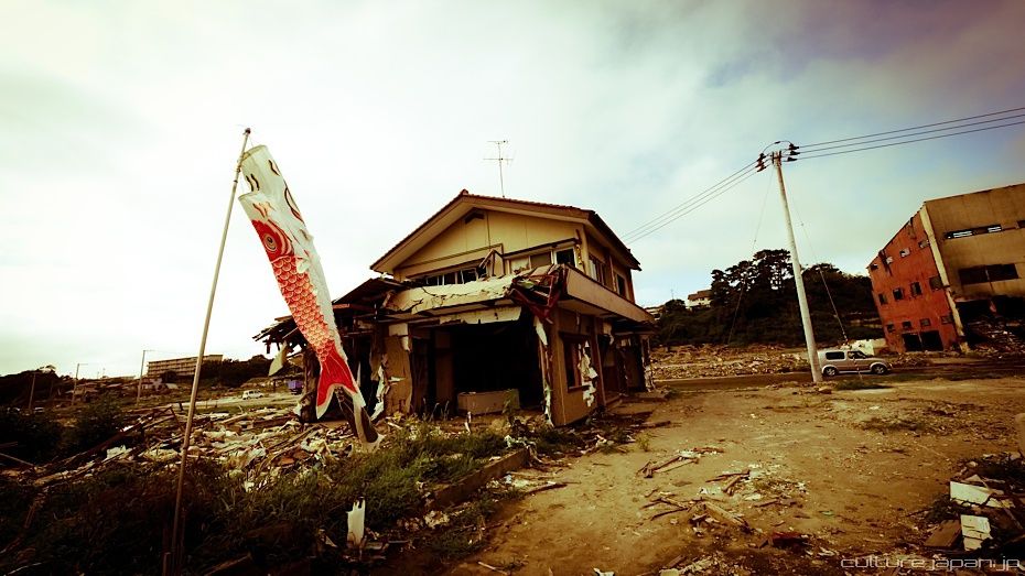
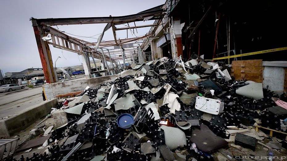
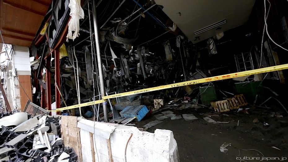
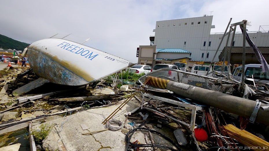
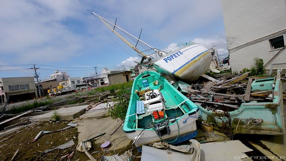
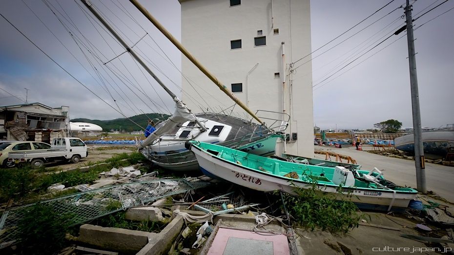
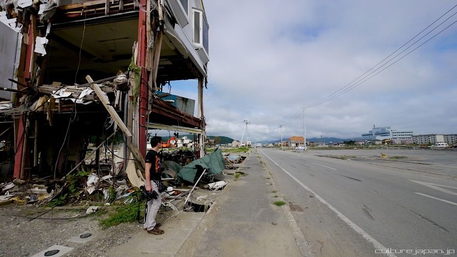
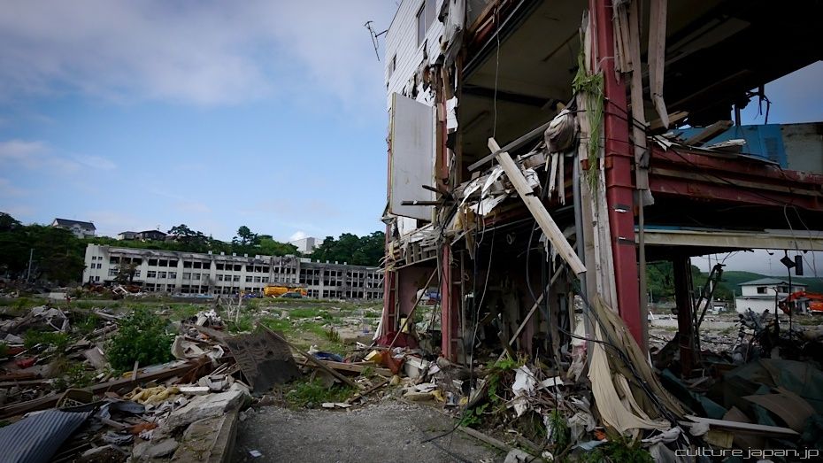
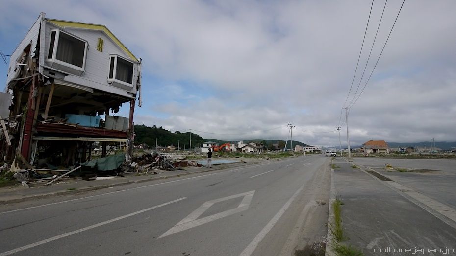
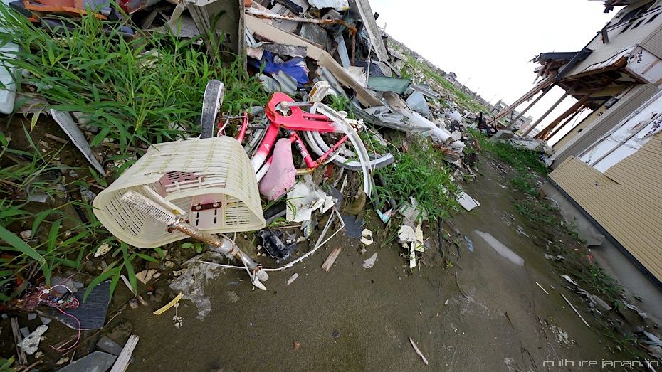
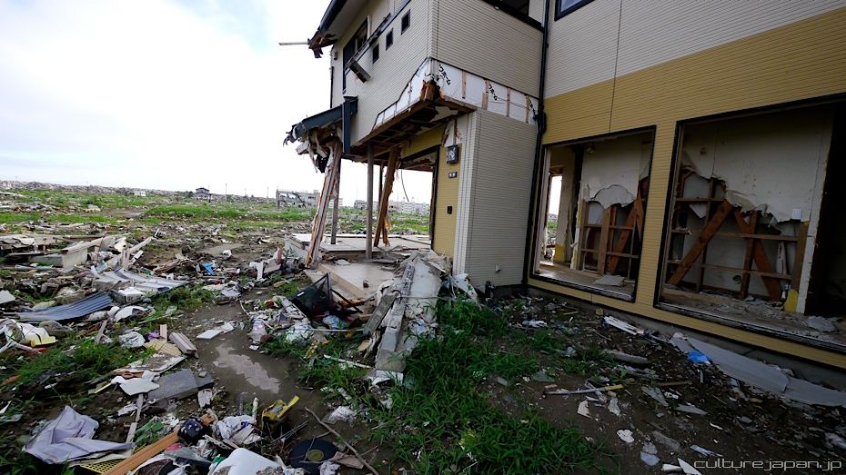
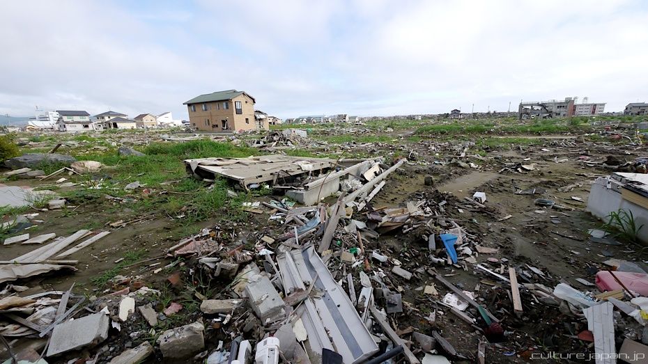
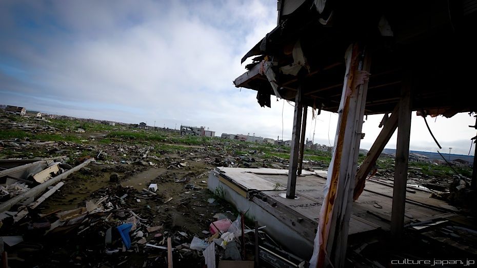
Continuing with the coverage from ground zero at Ishinomaki 5 months after the Tohoku Kanto Earthquake. This Google Map shows Kadonowaki-cho and the Minamihama-cho area - as you can see, most of it was destroyed by the tsunami which traveled 600 meters inland at about 10 meters high.
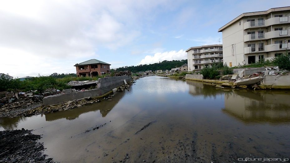
The earthquake alone shifted the whole city Southeast and lowering it by about 1.2 meters which now causes floods in some areas at high tide.
Ishinomaki Tsunami
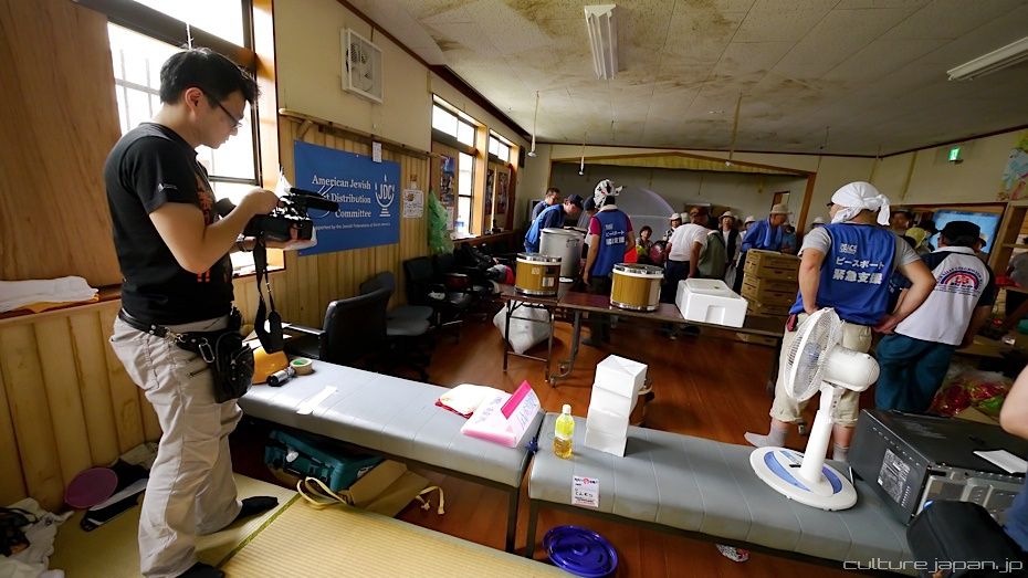
Today we continue to look at the damage and in the next post we will look at how the volunteer group Peace Boat are helping the locals.
Video below taken just after the tsunami. The word "Kaimetsu" 壊滅] that you hear in the news report means "total destruction" or "annihilation" and is a term that one would have heard regularly on the news during March.
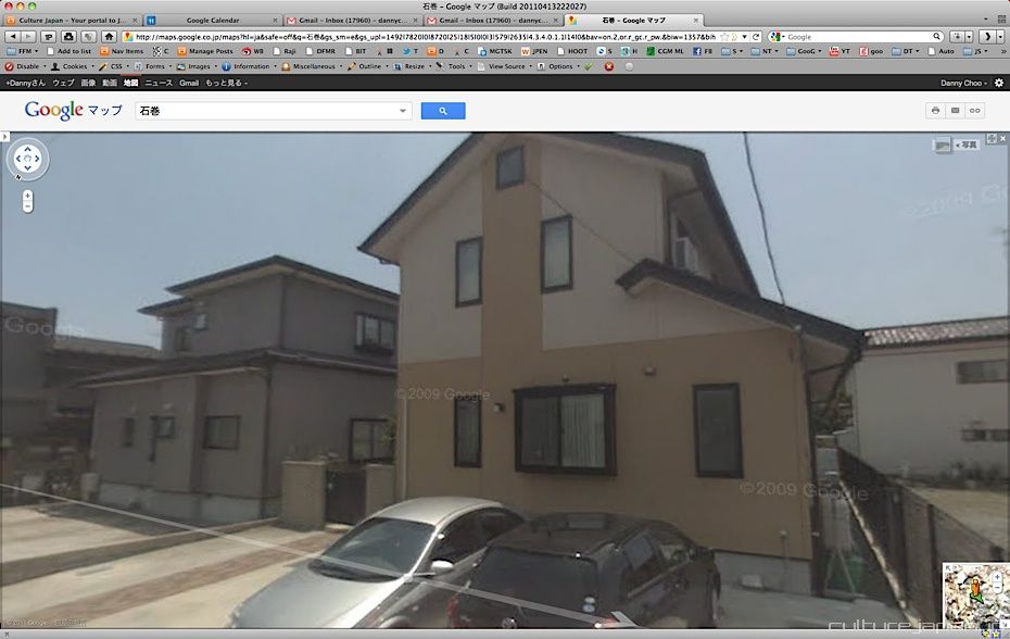
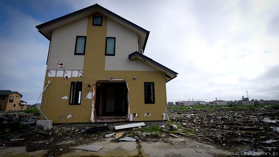
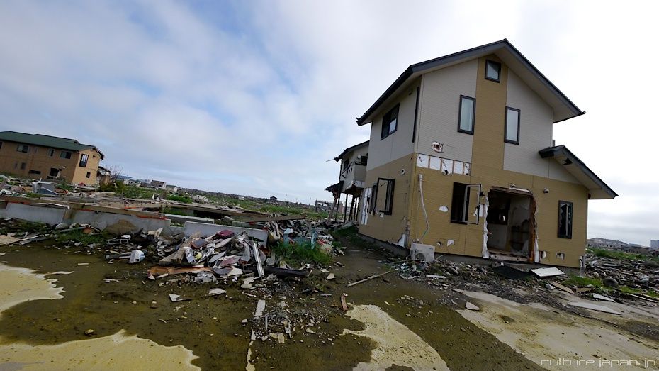
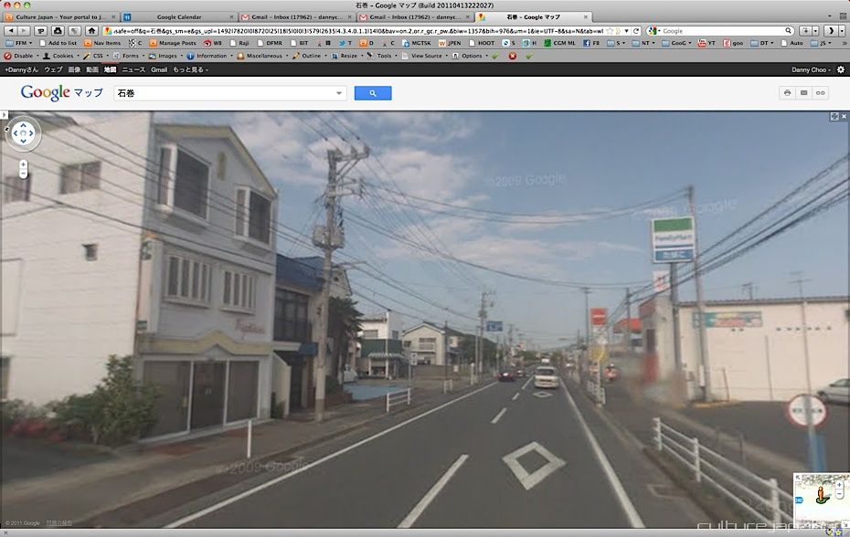
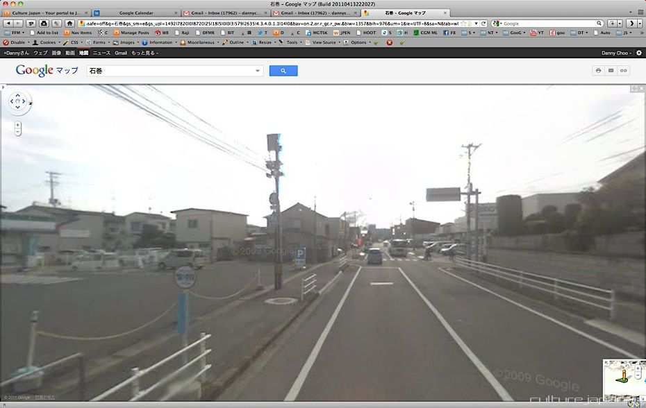
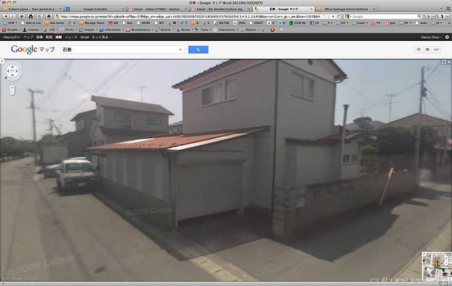
As previously mentioned in the Onagawa post, Google Maps show the post tsunami satellite images but the Street Views still show what it looks like from 2009. Here we have a cozy corner of the neighborhoods...
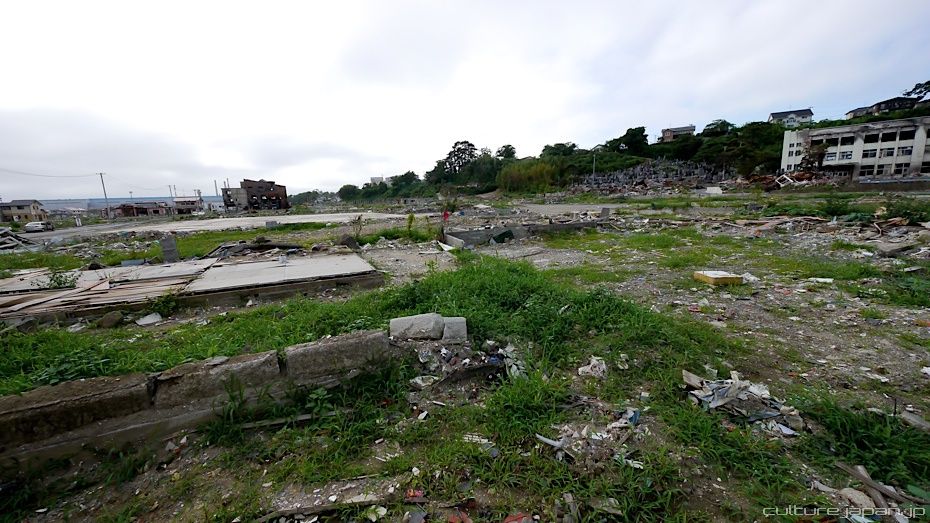
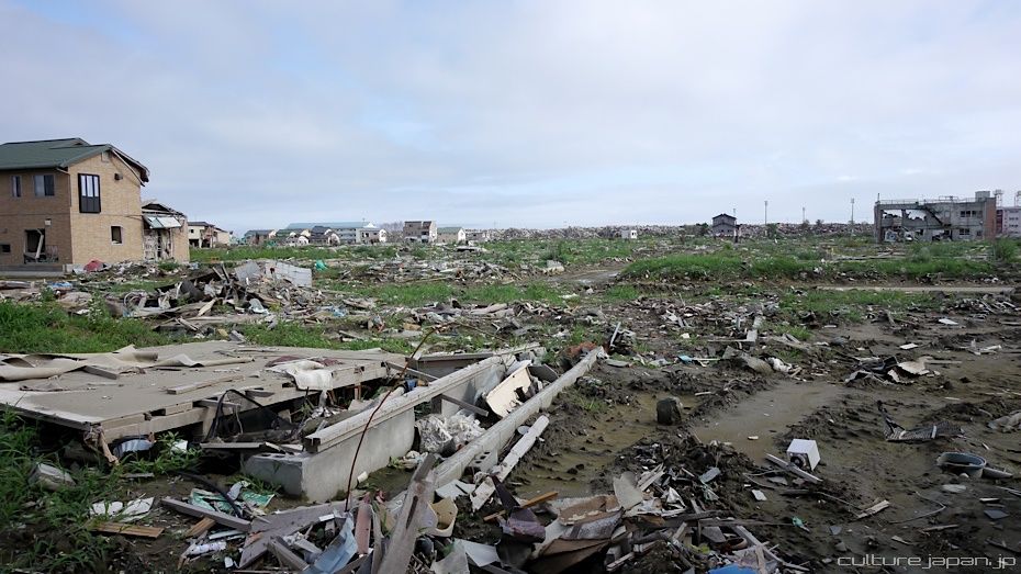
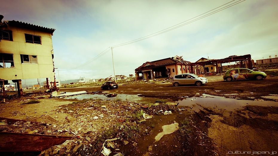
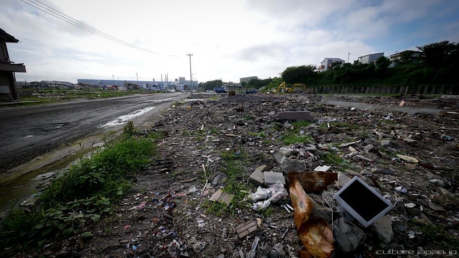
...which has transformed into a wasteland.
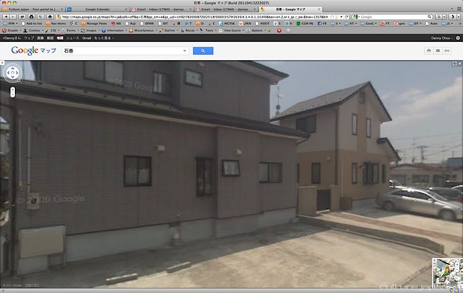
Another view of the same corner...
..which now looks like this.
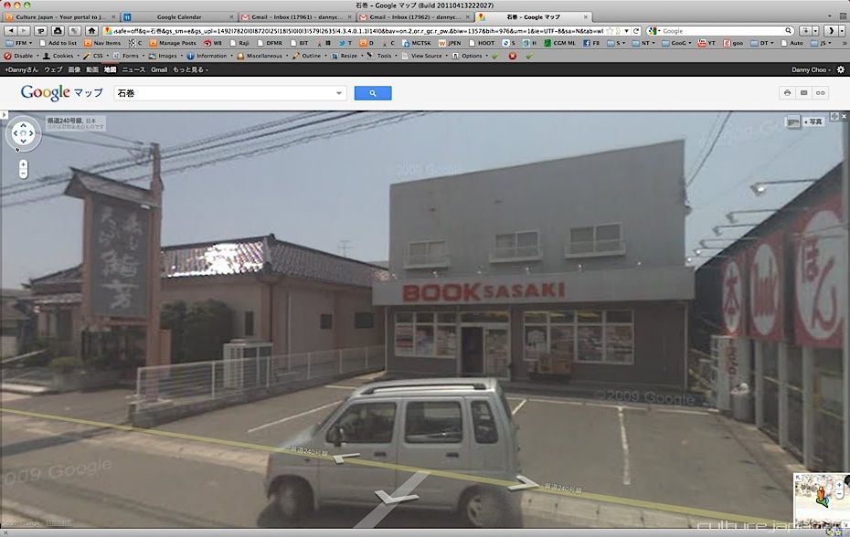
A restaurant and a book shop as it was before March 11th.
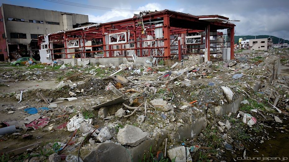
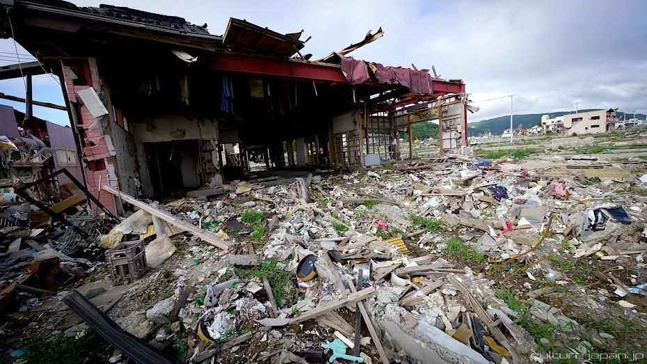
And this is what it looks like now.
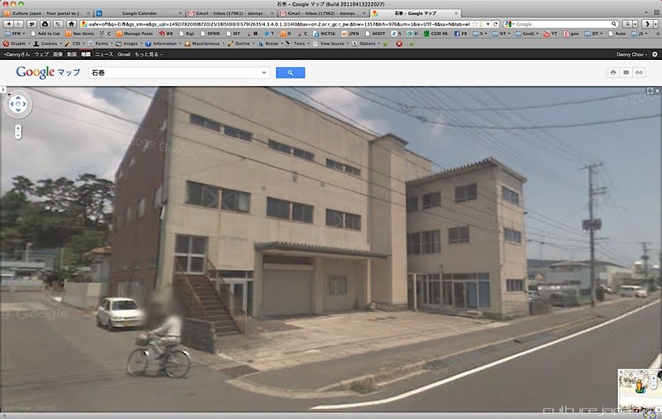
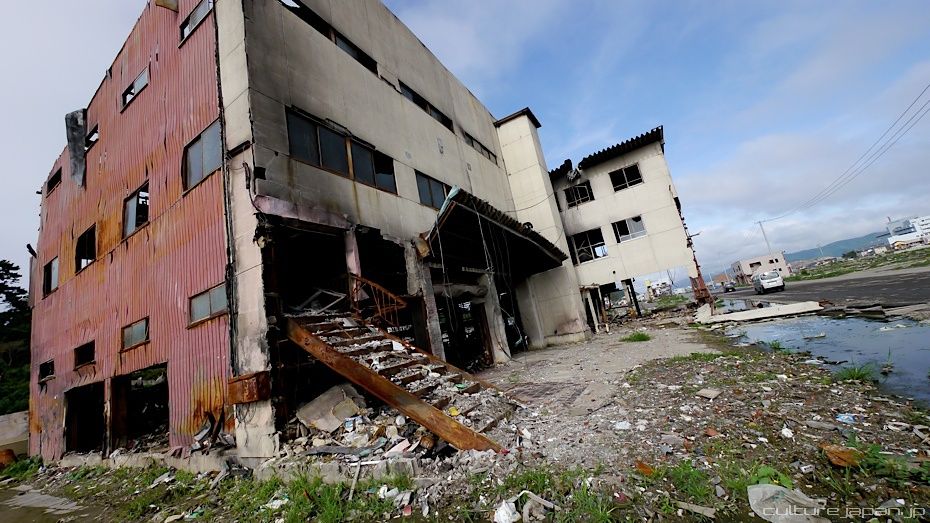
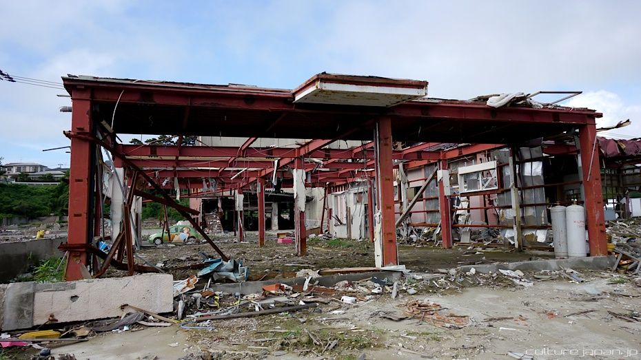
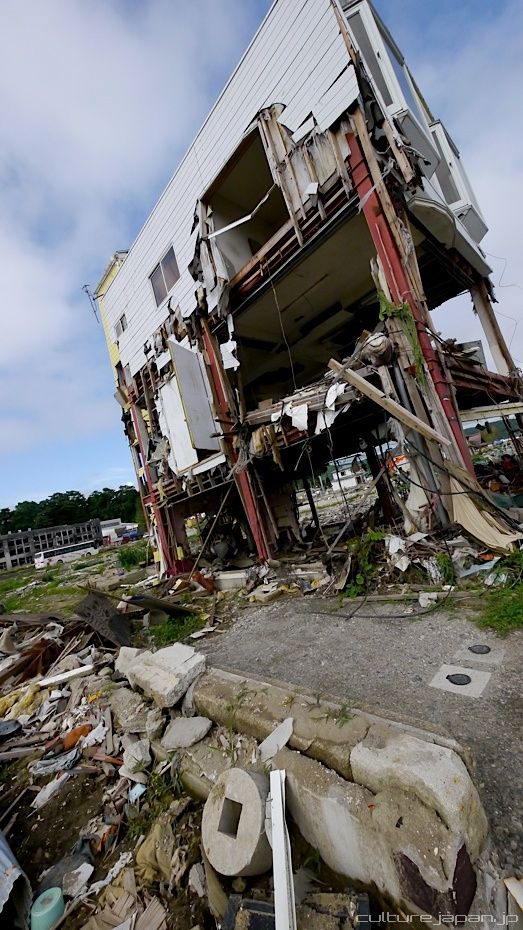
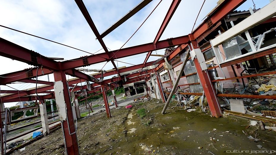
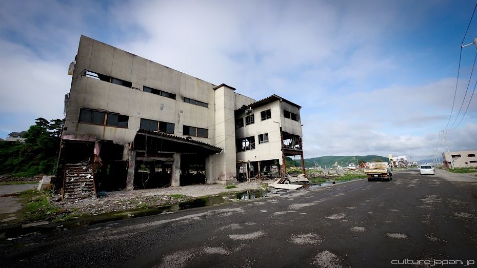
A small 3 story factory.
Many buildings caught fire from oil which leaked from the many factories - oil was carried on the surface of the tsunami.
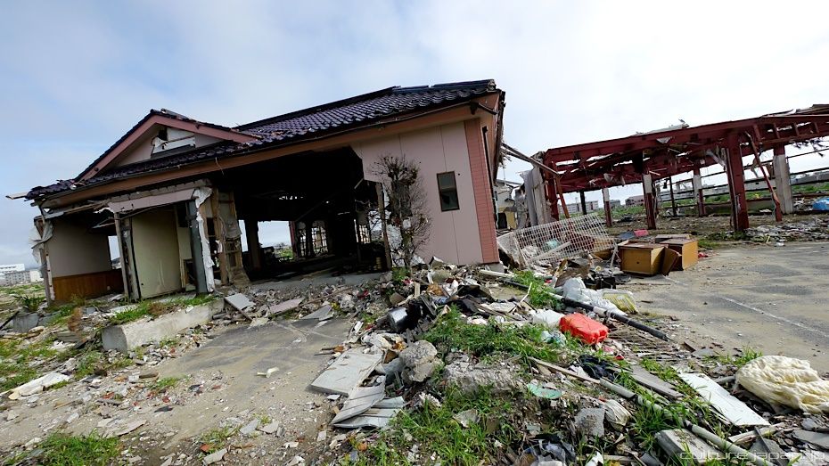
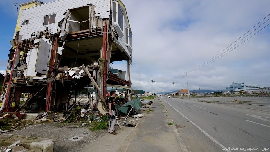
A small restaurant to the left of this Street View...
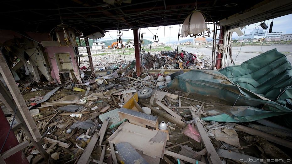
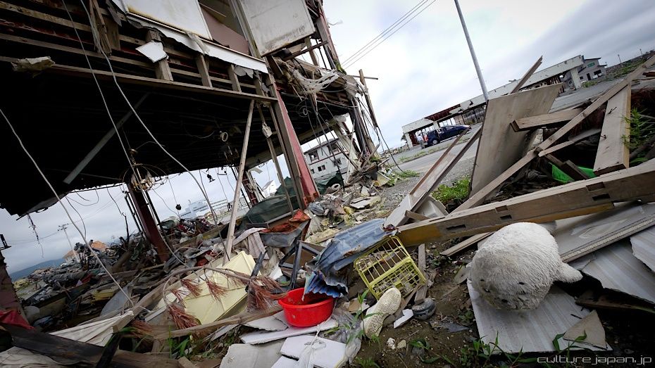
...ripped apart by the tsunami. The Japanese term "Tsume-ato" 爪痕] literally means the marks left behind by claws and is used to refer to damage caused by disasters.
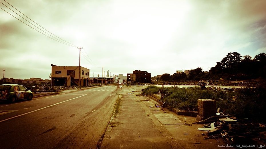
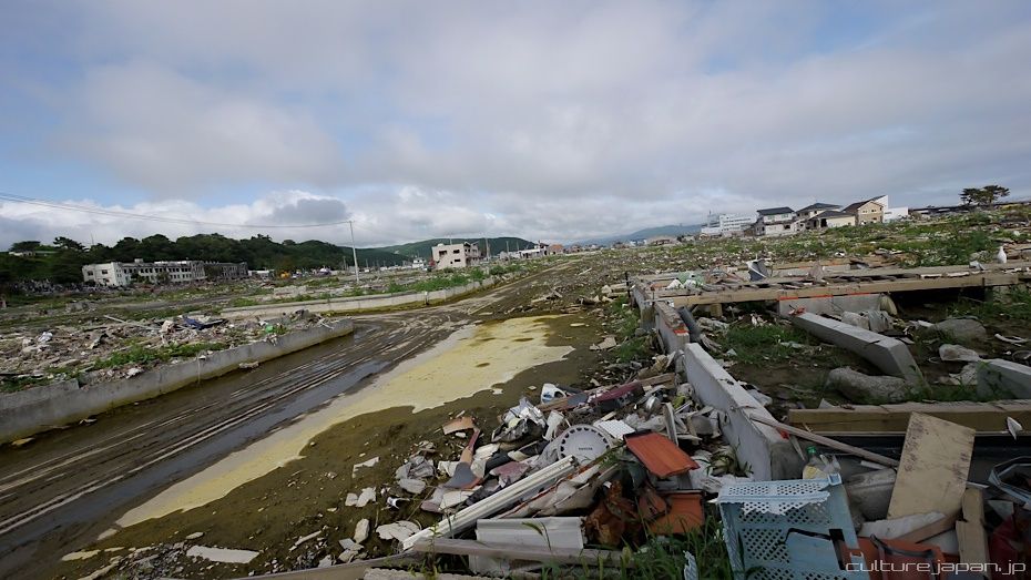
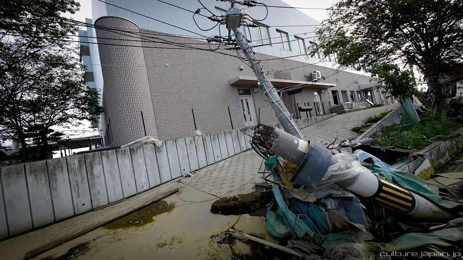
This road heading towards the West of the city...
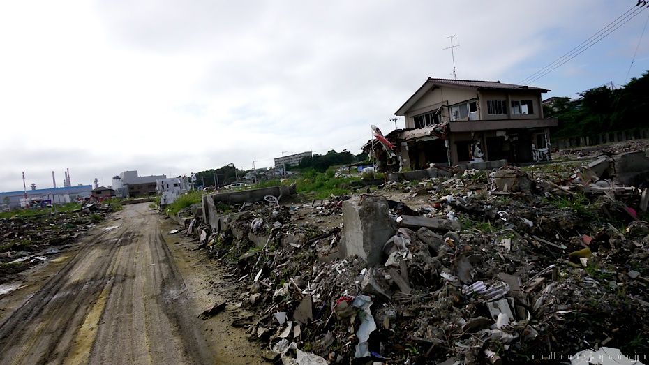
...now looks like this.
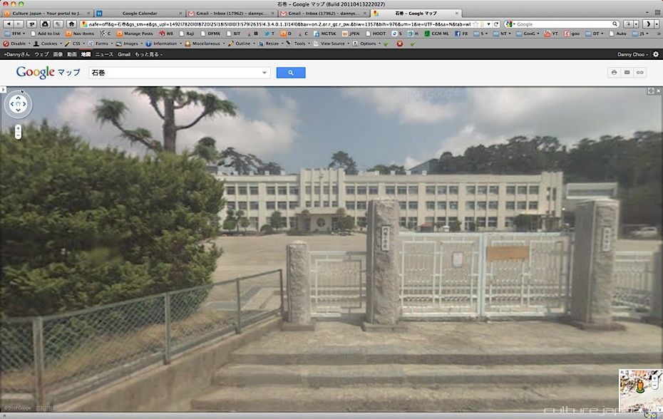
This was what Kadonowaki Elementary school looked like.
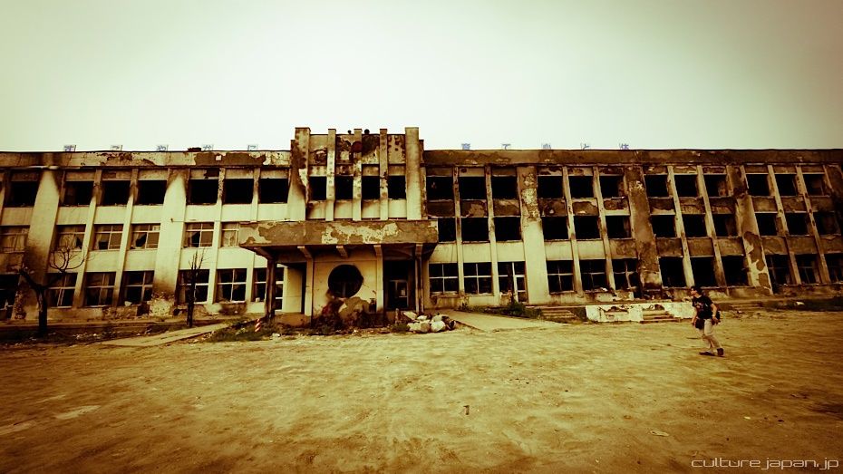
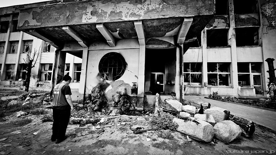
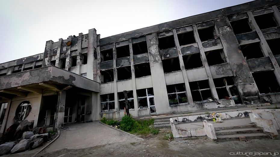
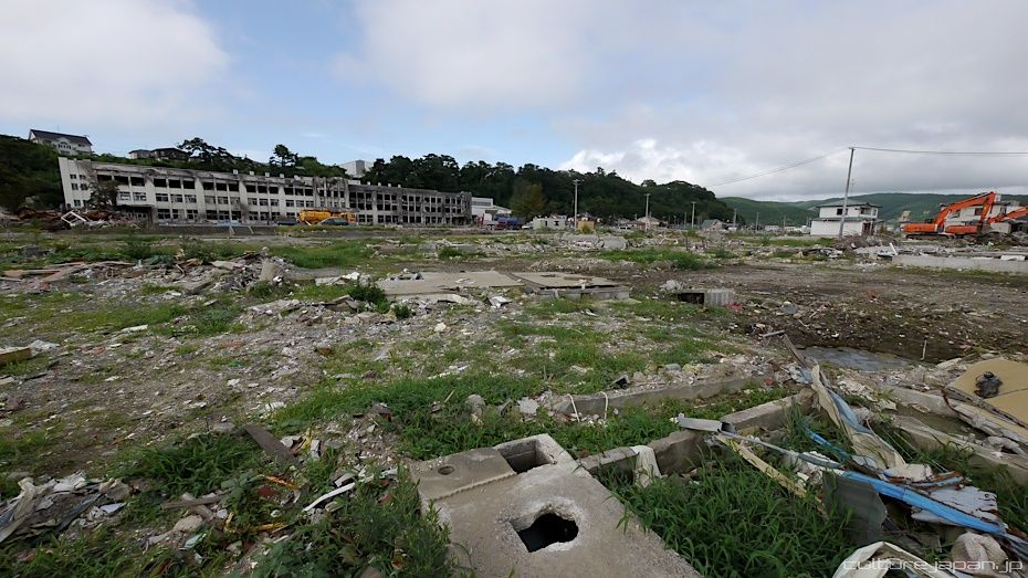
And this is what it looks like now. Not only was it destroyed by the tsunami, the oil from the factories caused a fire which burnt out half of the school. Fortunately, most of the children managed to escape.
There was another school however which wasn't so fortunate where 74 of their 108 students and 10 of the 13 teachers lost their lives to the tsunami.
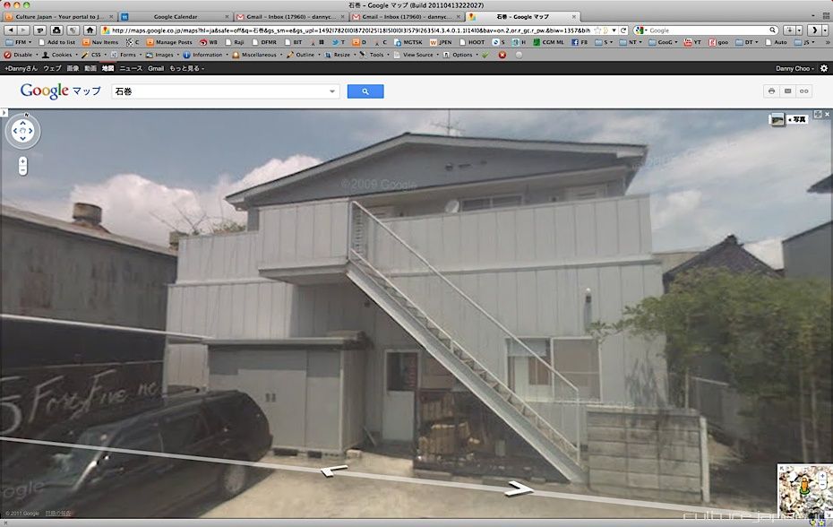
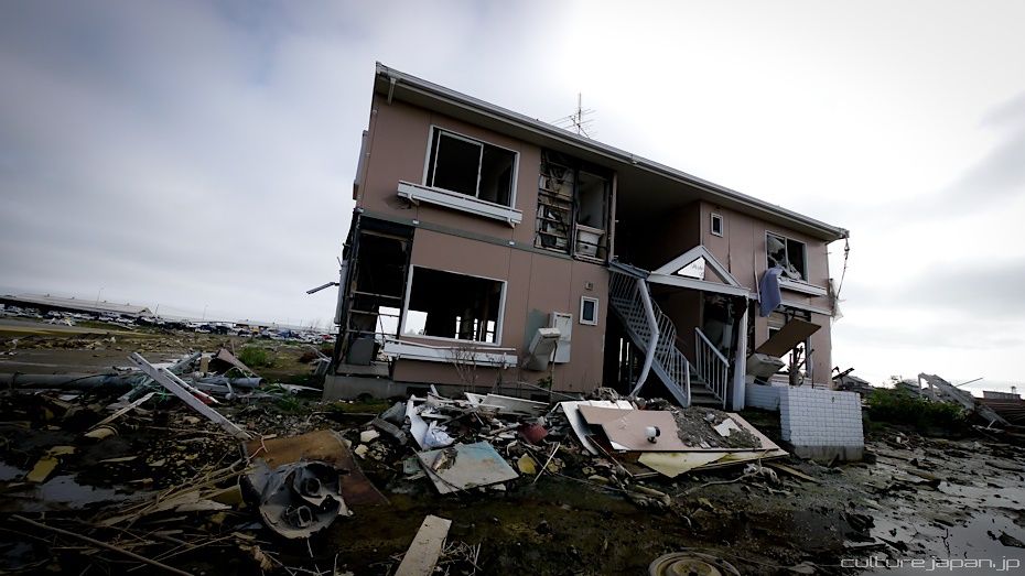
This small apartment and the surrounding area...
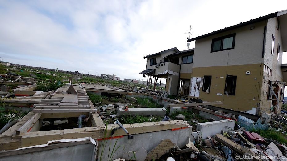
...reduced to this.
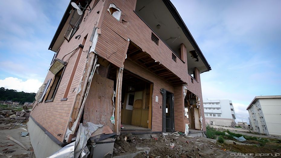
This whole residential area filled with about 700 houses...
Completely wiped out. There is talk among the authorities that they will make this into a huge park.
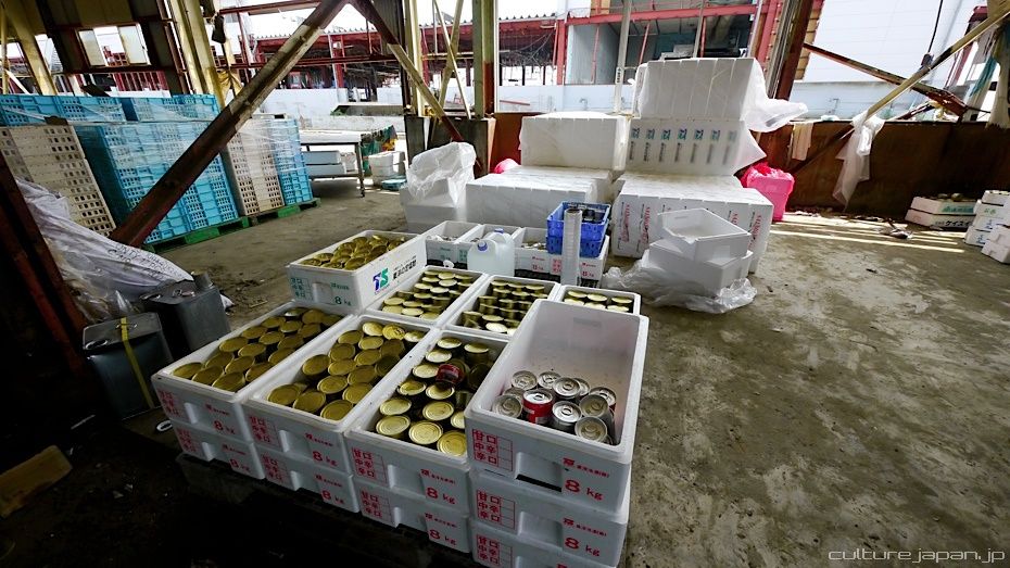
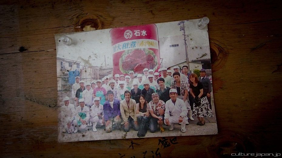
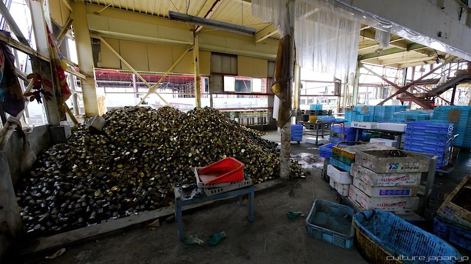
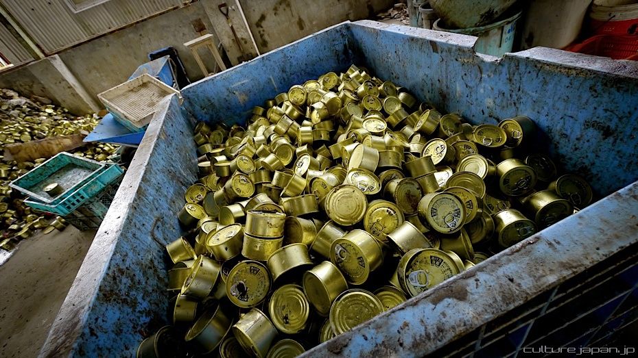
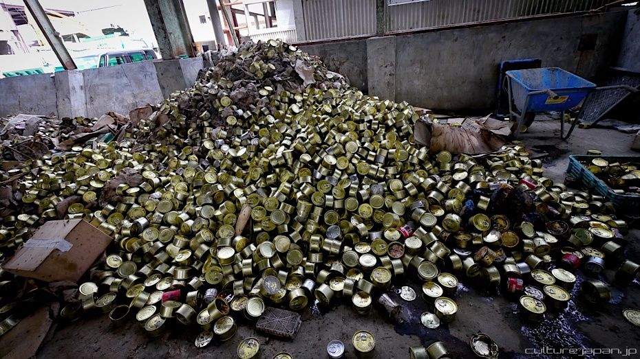
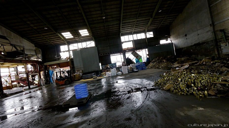
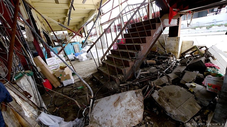
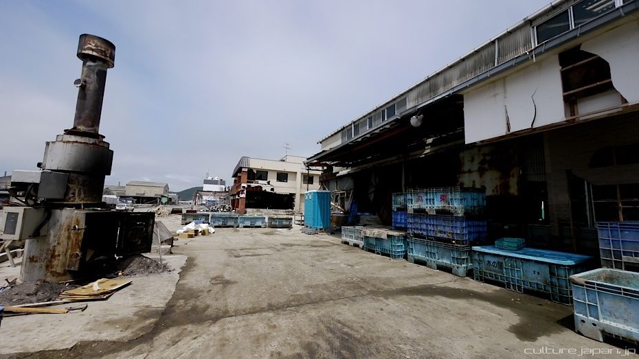
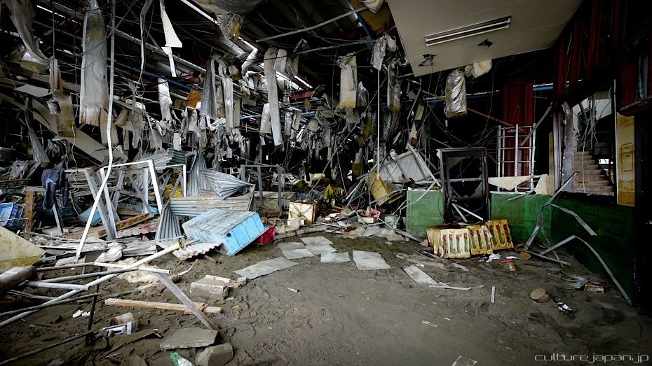
We visited a factory that manufactures canned fish. Cans from the factories were scattered all over Ishinomaki. While the labels on most of the cans were washed off, the contents were deemed edible so the Peace Boat folks have been collecting and cleaning the cans. The cans are being sold where the money is being used for the recovery efforts.
Some of the folks who worked in the factory.
The smell in this place is unbearable but I was told that it was even worse shortly after the tsunami. The smell comes from the rotting fish which were left behind from the tsunami. Folks who were working to clean up could only stay in the area for a while before getting a headache from the stench.
I got a headache too after we spent 20 mins in the area.
I got a headache too after we spent 20 mins in the area.
Some more recovered cans.
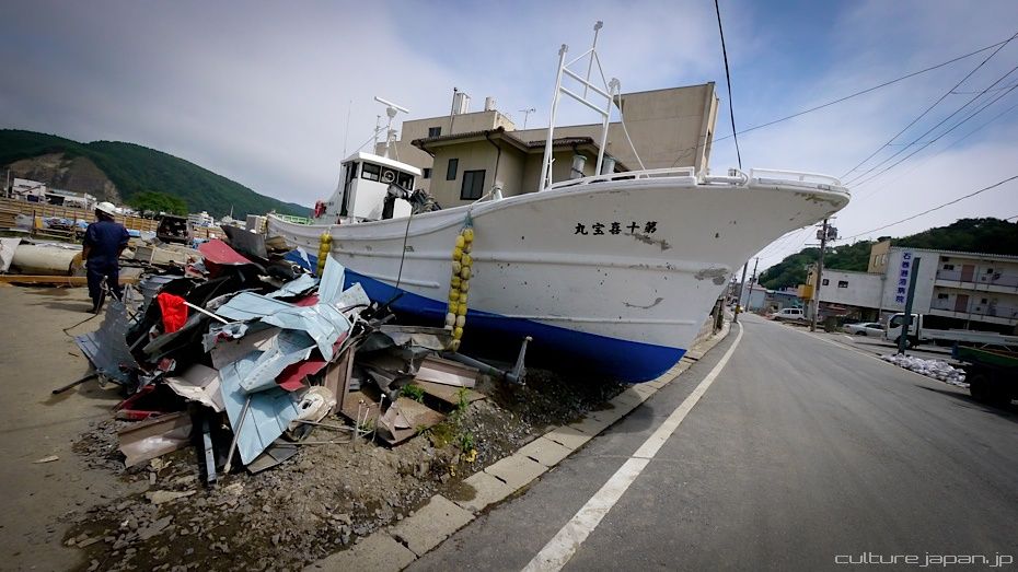
Most of the tsunami affected areas are predominantly in the fishing industry. Many have lost their jobs due to damage to the factories which are usually by the shore. Damage not only to the factories but to the boats too.
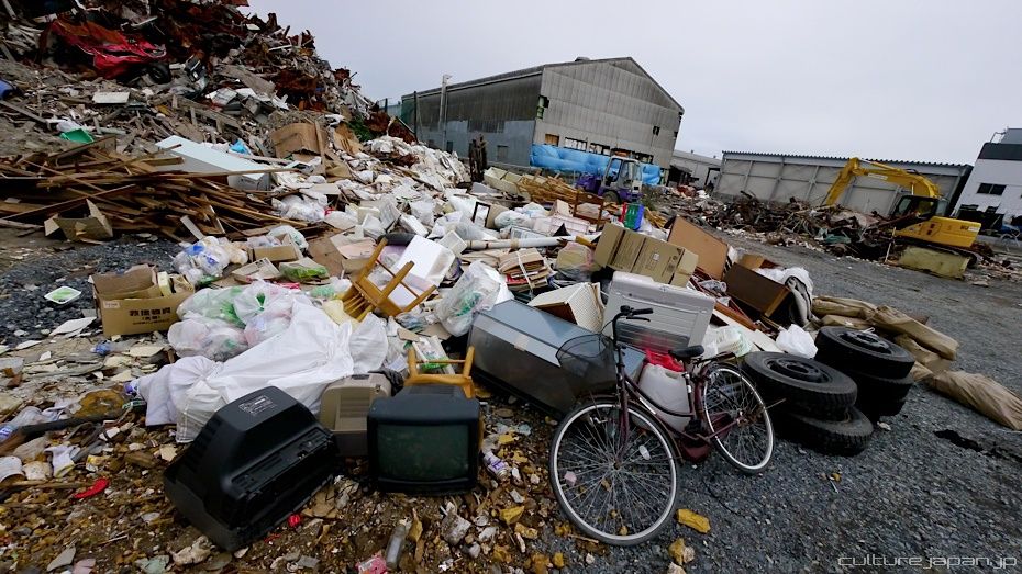
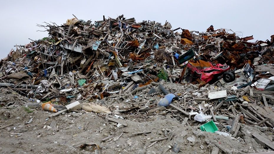
Pretty much all the roads in Ishinomaki were clogged up with debris after the tsunami. The locals have done an incredible job to clear up most of the roads. There are several huge dumping grounds just filled with debris.
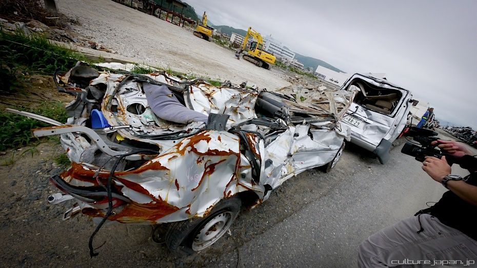
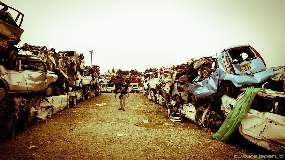
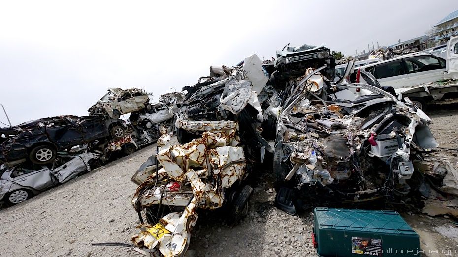
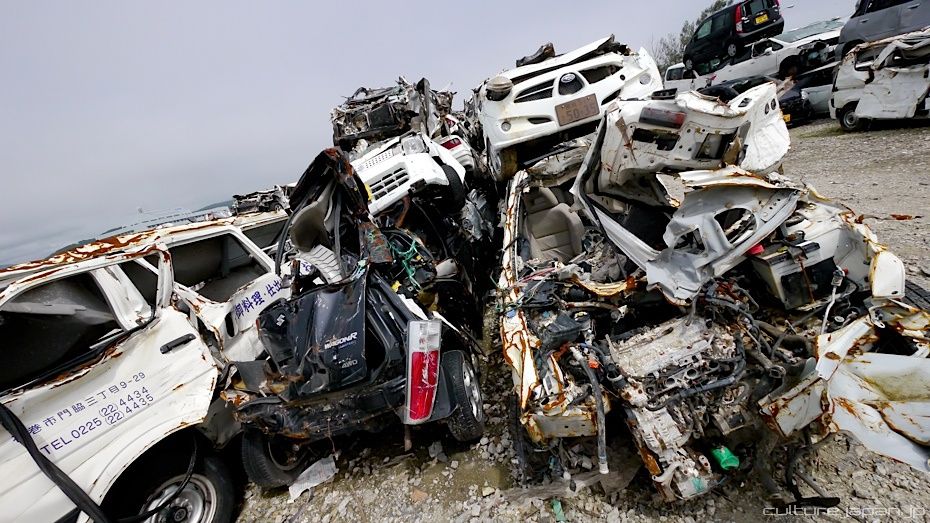
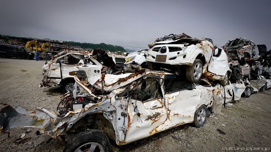
After the tsunami, cars were literally all over the place - many left on top of buildings too.
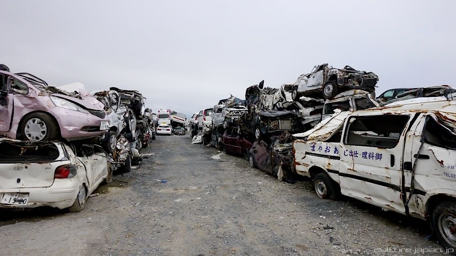
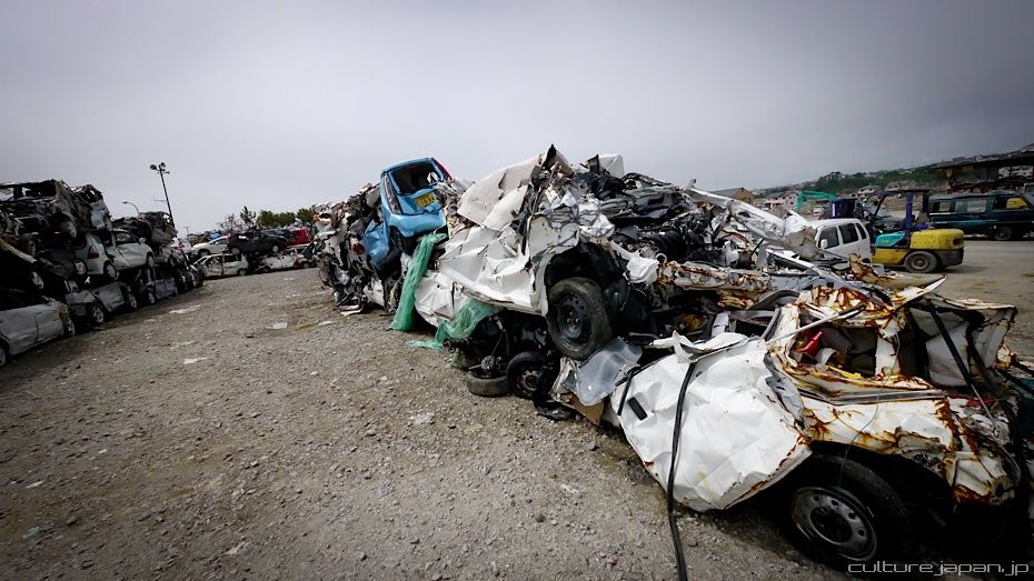
All cars were collected and stored in 3 locations around Ishinomaki. The number plate/type of car/location found is all noted down. Folks who have lost their car go to one of the ward centers in Ishinomaki and are told where their vehicle is. Some folks come to check their car but most just leave it here...
None of these cars can be disposed of due to legal reasons. Even due to such circumstances, disposing of somebodies car rubs the wrong way with the law thus these vehicles have to be kept here until an owner claims or allows the authorities to dispose of it.
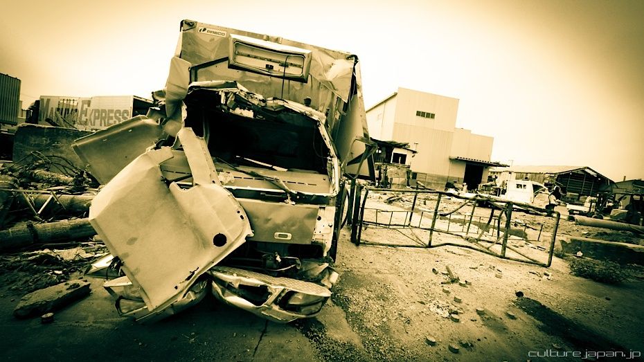
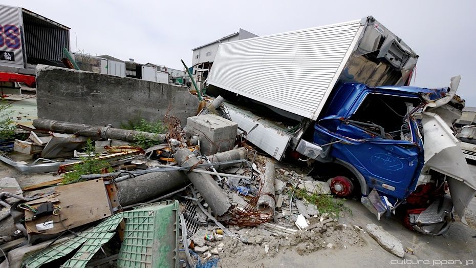
I just could not believe how mangled the cars were.
Many folks were still in their cars when the tsunami came. The video below was filmed by a man in his car which shows how the tsunami came along to wash his car away. You can see folks who got on top of their cars too.
While most Japanese folks were calm and well behaved, there was some looting going on. While I was in Ishinomaki, I would regularly see patrol cars going around the blocks. This storage area for the cars had security guards too.
Many cars were sprayed with marks to let others know that they have been searched for survivors/bodies.
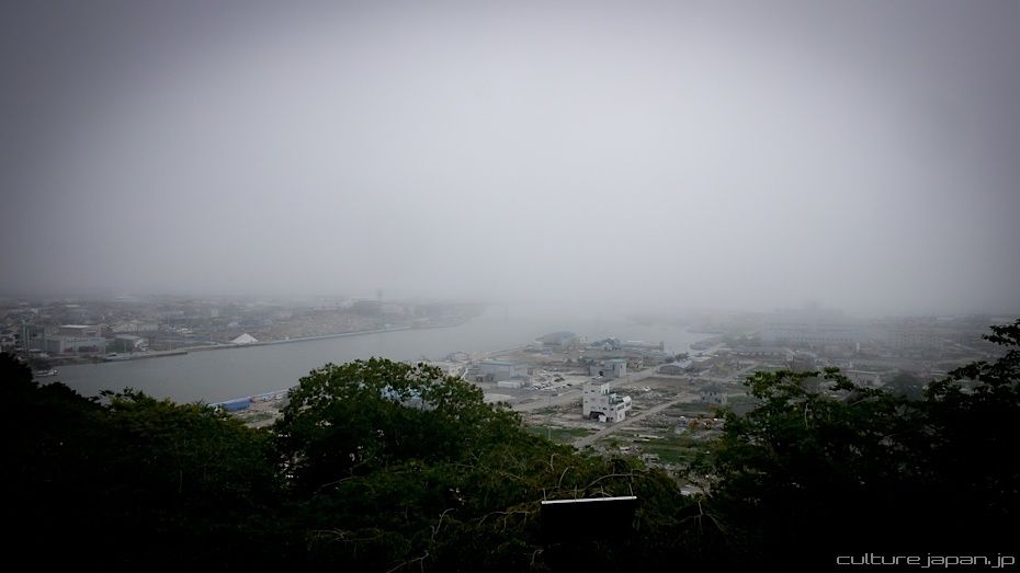
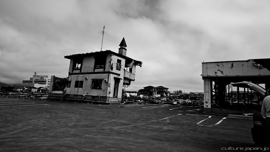
This photo taken from Hiyoriyama Park which is on high ground. Many folks who escaped up here described the tsunami that engulfed the city as "the black mountain is coming"
The small building to the left of the photo drifted with the tsunami and landed in the middle of this car park.
I wasn't sure if it was appropriate or not to drive our Mirai Itasha to Tohoku. But its the only car we have and renting one didn't make sense. We found that the locals love it though ^^;
A certain amount of folks believe that Japan should keep on sulking in despair after the tsunami which does not help Japan to recover at all. This is one of the reasons why the locals have decided to carry on with the Summer festivals to cheerup and get the community back on its feet. The day before we arrived there was a festival in Ishinomaki where money raised is being used for the relief efforts.
A certain amount of folks believe that Japan should keep on sulking in despair after the tsunami which does not help Japan to recover at all. This is one of the reasons why the locals have decided to carry on with the Summer festivals to cheerup and get the community back on its feet. The day before we arrived there was a festival in Ishinomaki where money raised is being used for the relief efforts.
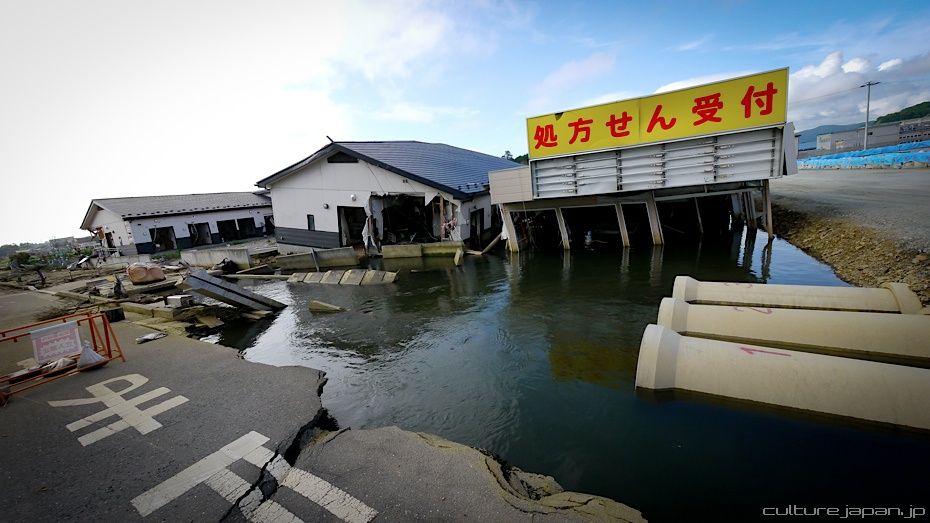
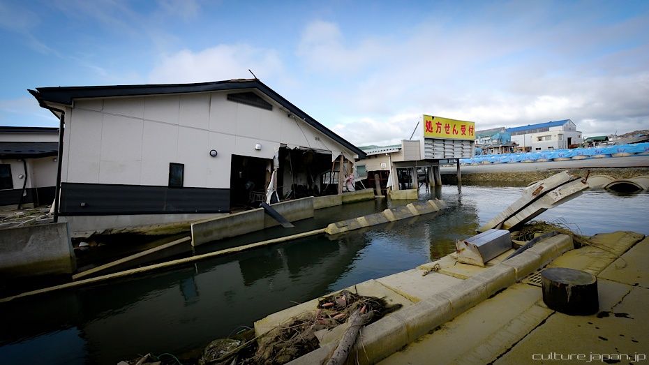
The building with the yellow sign is a chemist which drifted from somewhere or other.
This building has a sign on the door noting that it has been searched for survivors/bodies.
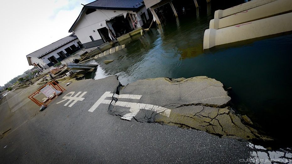
Some roads remain submerged after sinking from the earthquake.
Culture Japan Season 2 will feature a "Ganbare Nippon" (Stay strong Japan) special which will be split into 2 episodes.
Next up we will be covering the relief efforts by the Peace Boat volunteer group.
All Tohoku Kanto Earthquake related posts listed up below.
All Tohoku Kanto Earthquake related posts listed up below.
